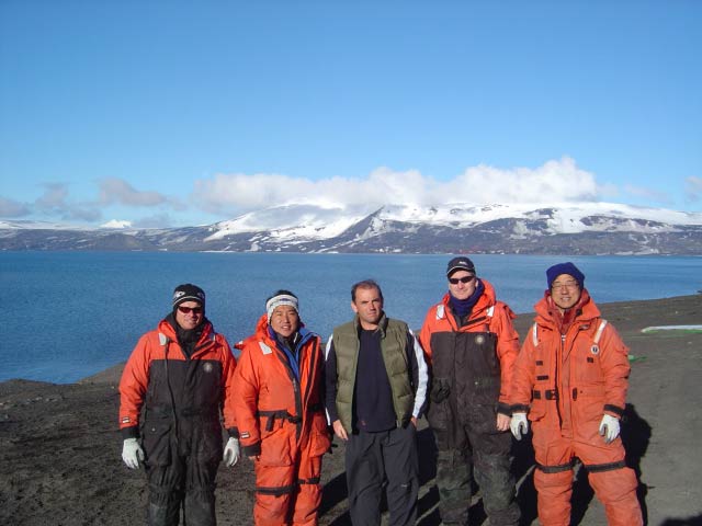
Project summary, 2005-2006
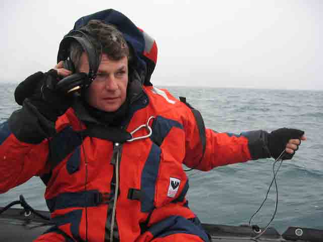
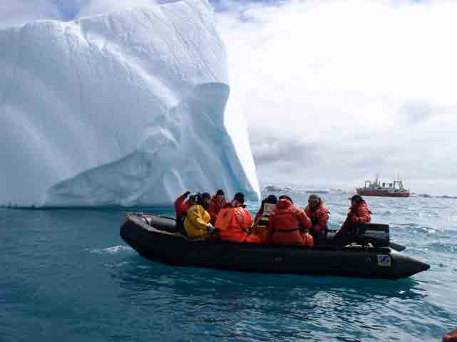
Sounds from the Southern Ocean is a joint project between NOAA-Pacific Marine Environmental Laboratory, Oregon State University, and the Korea Polar Research Institute whose goal is to study the dynamic tectonic and volcanic environment of the Bransfield Strait and Drake Passage. We completed two main tasks this year: the recovery and redeployment of a hydrophone array and an ROV survey of the floor of the submerged caldera of Deception Island. We began our mission by boarding the 300’ Russian icebreaker R.V.Yuzhmorgeologiy in Punta Arenas, Chile on November 19th, 2006.
Quoting Principal Investigator, Dr. Robert Dziak, “It’s an awesome feeling to be crossing waters where some of the most important events in human history have occurred and some of the greatest figures of civilization have traversed. For example, the protected passage way west out of Punta Arenas harbor to the Pacific Ocean is named the Beagle Straits in honor of Charles Darwin’s ship. The passage way east to the Atlantic Ocean is called the straits of Magellen for the legendary Portuguese discoverer, and of course the open water between South America and Antarctica is named after the Sir Frances Drake who first blazed his way through these rough seas in the 1500s.”
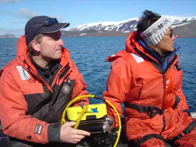
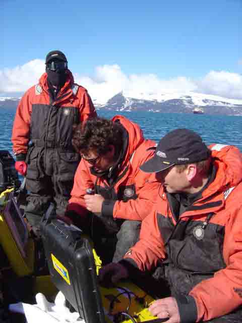
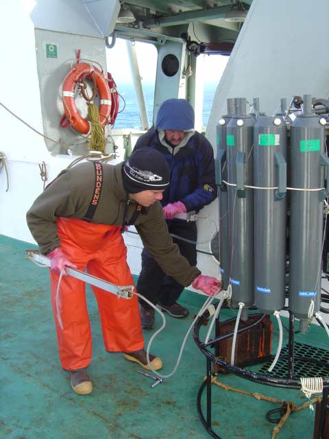
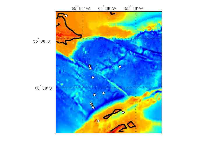
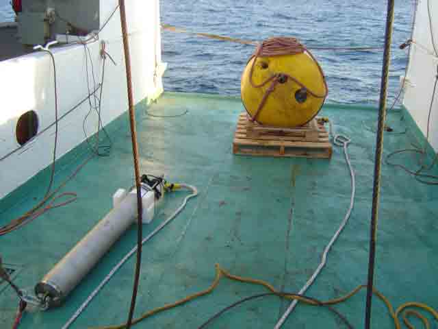
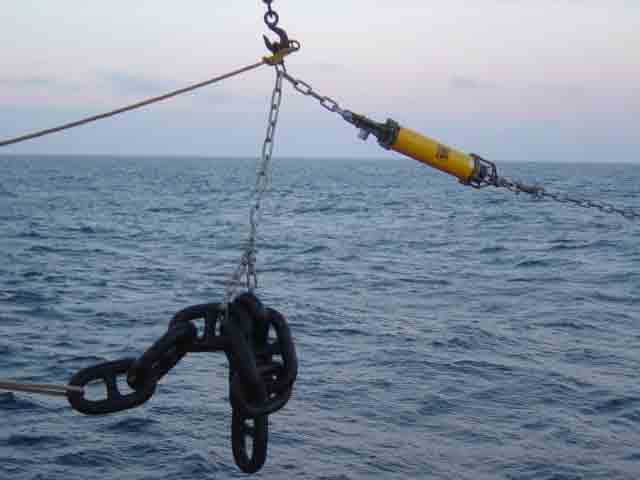
Seven hydrophones were deployed last year: one in Drake’s Passage and six in the in the Bransfield Strait between the South Shetland Islands and the Antarctic Peninsula. We recovered the hydrophone in Drake’s passage on our way to the Korean base on King George Island. After replacing their hard drives and batteries, five hydrophones were redeployed in the Bransfield Strait. The hard drives contain all of the acoustic data accumulated since last year, and are currently undergoing analysis at OSU.
After just a few hours of sleep between missions, we roused briefly to experience our closest approach to the mainland of Antarctica. Dozens of icebergs were obscured by low-lying clouds, but were revealed by the Yuzhmorgeologiy’s radar. From the deck the occasional ‘berg would make a brief appearance, only to be masked by flurries of falling snow.
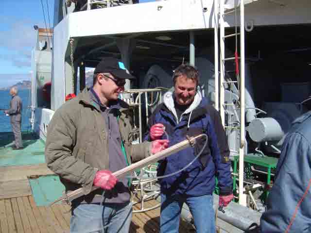
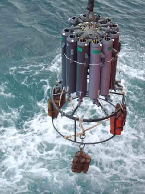
Deception Island is one of the few active volcanoes breaking the surface of the Southern Ocean. We attempted to locate and sample hydrothermal vents that may be lurking beneath the waters of its caldera, Port Foster. Once again we cast the Niskin bottle rosette off the stern of the Yuzhmorgeologiya, hoping to capture water samples bearing telltale elements of helium and metals. But a more direct technique would have been to actually see the shimmering hot seawater as it exits the vent.
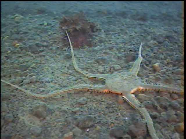
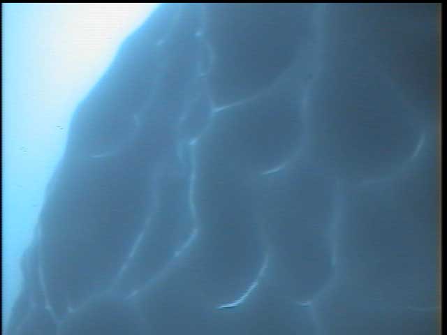
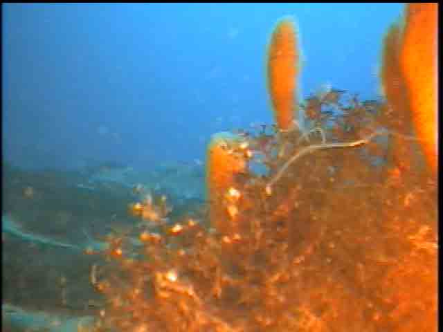
We began our search in a section of Port Foster aptly named Fumarole Bay. From the ship we could see white, wispy vapors rising from its shoreline. A full crew loaded into the Korean zodiac with all of the ROV equipment. We collected 5 hours of underwater video (at depths of 10-100 m) of the diverse macro-floral and faunal life in these two settings. At Deception Island we observed enormous populations of amphipods, krill, brittle stars, sea stars and urchins, tunicates, sponges and sea anemones. In contrast at Marion Cove we observed krill, sea stars, sponges and tunicates but in a much lower level of abundance. We speculate that Deception Island exhibits a much higher level of productivity and diversity of marine organisms because of the morphology Deception Island that forms a protected harbor. This allows for reduced exposure of the marine organisms within Deception Island to strong currents, winds and seasonal temperature fluctuations throughout the bay.
Accomplished Research Objectives
1) First deep-water hydrophone deployment in Drake Passage and Bransfield Strait, Antarctica
2) First long-term, microseismic survey of seafloor tectonic and volcanic activity in Antarctica
3) First study of possible link between ice movement and seafloor tectonic/volcanic activity in the Antarctic
4) A detailed, deep-water (greater than scuba depth) ROV survey of the marine ecosystem at Deception Island, Antarctica
5) First acoustic survey of the presence and distribution of large baleen whales (blues and fins) in the Bransfield Strait
6) First test of active subduction processes at South Shetland Islands (King George Island), Bransfield Strait.
Education/Outreach
Oregon State University and Oregon Sea Grant installed detailed log reports and pictures (in this blog)
The daily logs and pictures from our 2005 research voyage to Antarctica can be found at two different sites:
http://seagrant.oregonstate.edu/extension/hanshumaker.html
http://oceanexplorer.noaa.gov/explorations/explorations.html
posted by Bill Hanshumaker @ 11:43 AM
8 comments
![]()
![]()