November 26-28: Mission accomplished
 Bob Dziak sends signal to release hydrophone
November 26-28, 2006
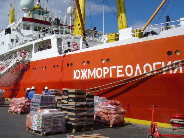
On board the RV Yuzhmorgeologiya
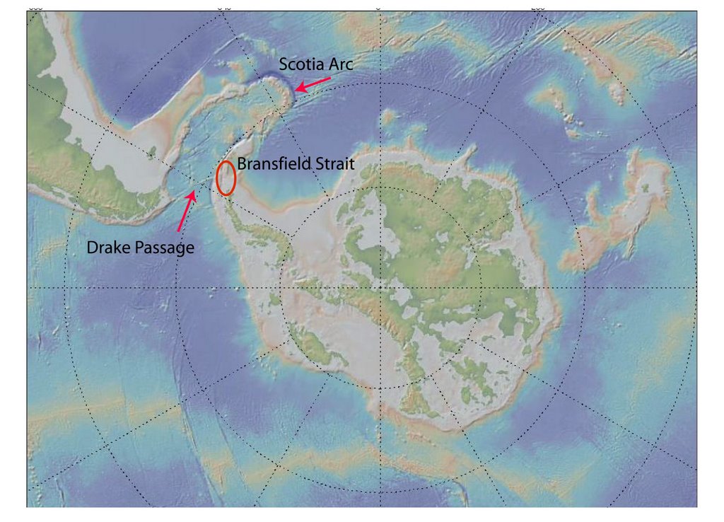
Off of Livingston Island in the Bransfield Strait
During the last three days the team has accomplished its primary mission of recovering the six hydrophones that were deployed in the Bransfield Strait in 2005. Including the hydrophone from the Drake Passage recovered last week, all of these underwater listening devices have successfully captured the acoustic information for which they were designed.
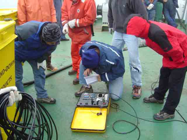
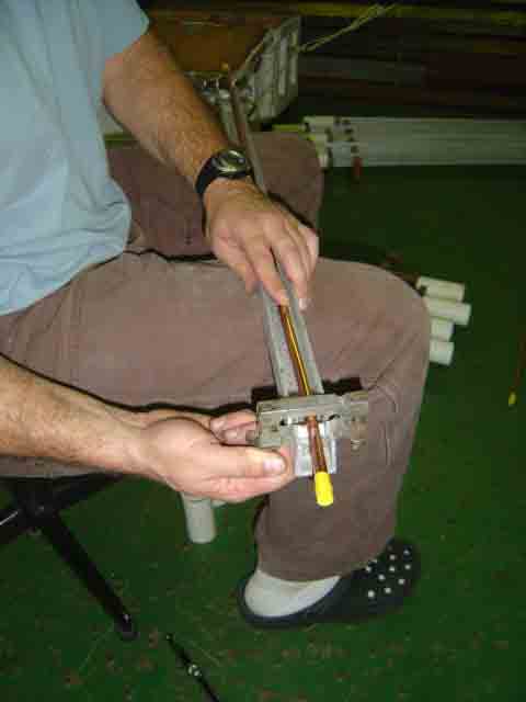
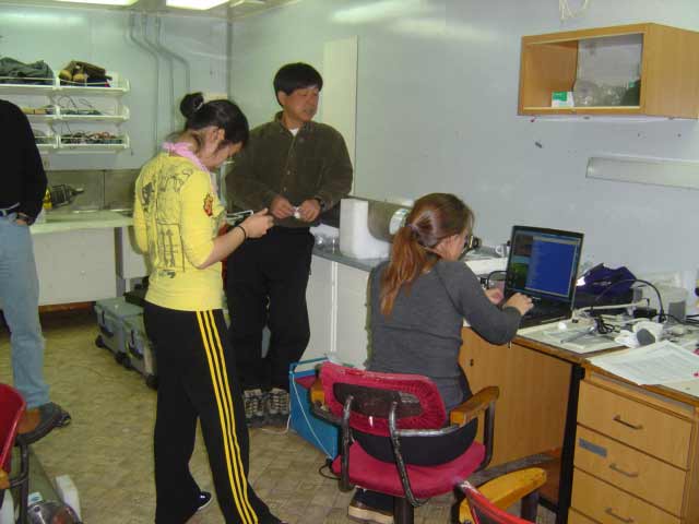 Haru and Kate process data from recovered hydrophone
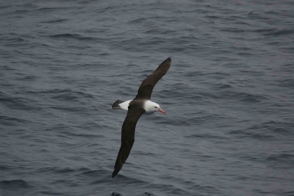
Preliminary examination of the data has shown calls from blue and fin whales, sounds of ice movement (created by cracking, free ice collisions and scraping on the sea floor) and seismic events such as underwater earthquakes.
In addition, five hydrophones have been re-deployed in the Bransfield Strait for another year of acoustic data collection. Being in limited supply, the two surplus hydrophones will be shipped back to HMSC to be deployed in other locations around the globe. It was decided that the remaining five, in slightly rearranged positions, would cover our area of interest in Antarctica.
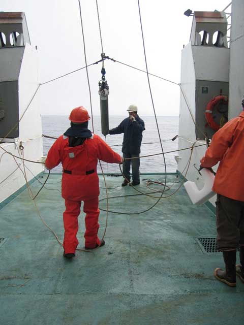
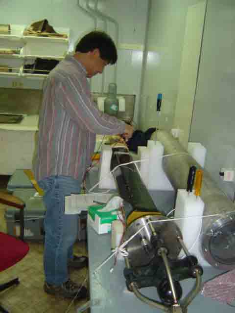
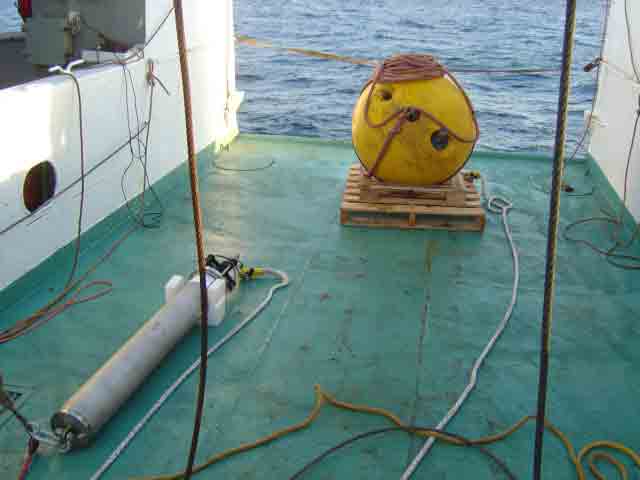 Hydrophone and float await deployment
 The hydrophone is an autonomous instrument, and needs to be recovered in order to retrieve its data. Its mooring equipment begins with a 500-pound, 37-inch diameter syntactic foam float, bright yellow in color for day recoveries, with an attached flashing light for the occasional night-time retrieval. Below the float is the hydrophone, suspended in the water at 400 meters below the surface. Attached to the hydrophone is a 5/16-inch thick mooring line, whose length depends on the depth of the ocean bottom at that location. This in turn is shackled to an acoustic release mechanism, which can communicate with scientists aboard the ship. The acoustic release frees the hydrophone from the anchor when the recovery vessel broadcasts a coded frequency of sound underwater. The anchor consists of eight large chain links weighing approximately 550 pounds.
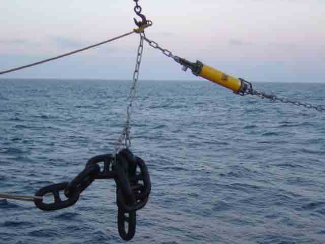 Mooring anchor and acoustic release ready to deploy
An acoustic survey to locate level seafloor must be conducted before the hydrophone is deployed. This helps to assure that the hydrophone’s heavy anchor will stay in place. After stopping to lower the syntactic foam float, the Yuzhmorgeologiya steams forward at 2 knots to play out a 50 meter leader of braided nylon, the hydrophone and approximately 1500 meters of high-test nylon rope (or more, dependent on the depth of the seafloor), before pausing again to attach the acoustic release and anchor. We then return to our original location to drop the acoustic release and anchor. The anchor requires over 10 minutes to reach bottom and lands within 100 meters of the projected location. After verifying its position with GPS, the captain turns the ship and heads for our next deployment location. Multiple locations are necessary in order to triangulate the location of any detectable sound source.
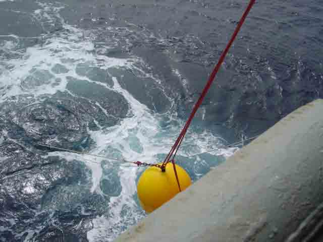
To recover a hydrophone, the Yuzhmorgeologiya uses her GPS equipment to arrive at the exact location where the hydrophone was deployed. A transponder is lowered over the side, and a coded acoustic signal is sent. If the hydrophone is nearby, it responds with its own acoustic signal. The deck box calculates the angle and direction of the signal, and the ship moves closer, if necessary. Another coded acoustic signal is sent, causing the release to open, separating the hydrophone from its anchor. The yellow syntactic foam float with a flashing light rises to the surface and the captain maneuvers the Yuzhmorgeologiya into position for recovery. Using a grappling hook thrown from the bow, the mooring is captured and attached to a line on deck. This line is run through the “A” frame crane as the Yuzhmorgeologiya moves slowly forward, positioning the float dead astern. The “A” frame crane hoists the float to the deck, where it is disengaged from the mooring line. The hydrophone is recovered next, rinsed with fresh water and carried below decks for the processing of its valuable information. The long nylon line is spooled up, ultimately revealing the acoustic release. The release is dismantled and its depleted batteries are replaced to prepare it for redeployment.
At over 3500 meters, the Drake Passage hydrophone was our deepest recovery of this cruise.
posted by Bill Hanshumaker @ 10:52 AM
2 comments
![]()
![]()